San Francisco Days, El Paso Nights.
Tuesday night the Plaza Theater hosted Chris Isaak and the Silvertones, a first for El Paso. We’ve seen him before elsewhere but this was the first time we’d been to the restored theater. I’ll have to say, I was quite impressed. The sound was incredible and the band played flawlessly.
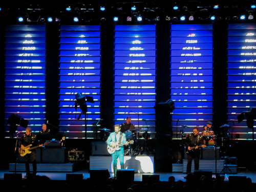
- Hi!, I’m Chris Isaak!
There was an especially amusing instance where in typical El Paso fashion a couple was late and getting escorted to their seat in the front row 3 songs into the set. Chris joked ” We’ve been waiting for you, until now we’ve just been messing around” Classic!
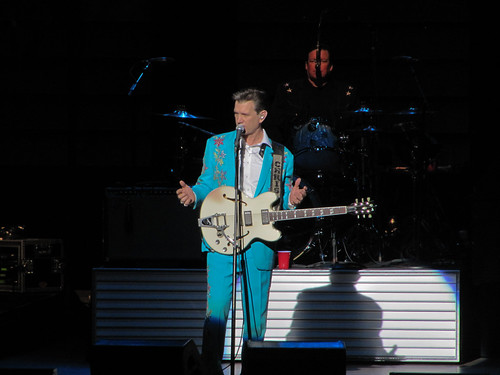
- Baby did a bad, bad thaang!
If you are only familiar with his hits and not his full albums you are missing out. He plays the gamut from slow ballads to rockin numbers. It may have been small size of the venue, but the band was really engaged and there was a lot participation with the audience.
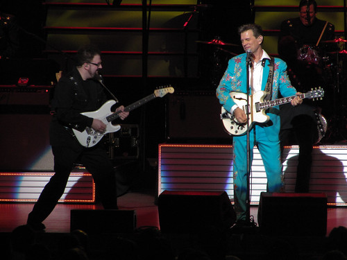
- Kick out the jams, Hershel!
Chris played his hits, fan favorites and then broke out into a jam session where they covered Johnny Cash, Carl Perkins and other Sun Records recording artists. He mentioned that they had previously recorded at Sun Records for an upcoming album.
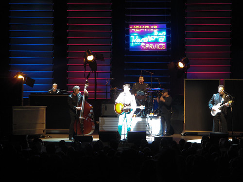
- Lets all get Dixie Fried!
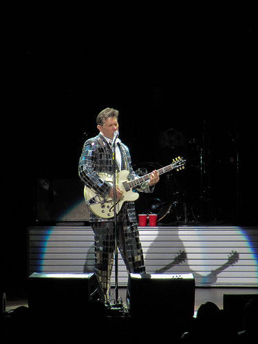
They finished up and for the encore out came the famous mirror suit!
- Super Magic
It was about a two hour set making for a very enjoyable night. I was able to record a couple of videos which are included in my flickr set here: Chris Issak @ the Plaza